ŞRİFTİN ÖLÇÜSÜ
A
A
A
ŞRİFTİN NÖVÜ
Poppins
Serif
RƏNGİN TƏSVİRİ
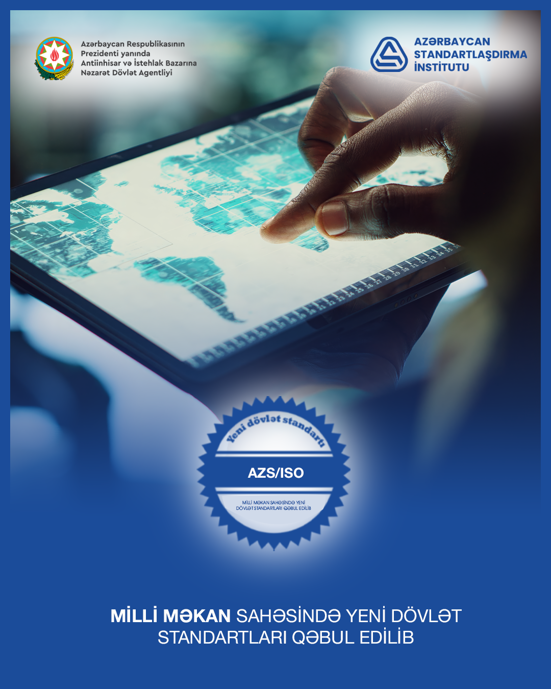
Adoption of New National Spatial Standards in Azerbaijan
20 August, 2025
New national spatial standards will play a crucial role in simplifying communication between institutions, fostering the successful implementation of geographical projects, and supporting the digital transformation of the government.
The Azerbaijan Standardization Institute (AZSTAND), operating under the State Service for Antimonopoly and Consumer Market Control of the Republic of Azerbaijan, has officially adopted new national standards titled AZS ISO 19107 : 2025 “Geographic information — Spatial schema”, AZS ISO 19110 : 2025 “Geographic information — Methodology for feature cataloguing”, AZS ISO 19111 : 2025 “Geographic information — Referencing by coordinates”, AZS ISO 19115 - 1 : 2025 “Geographic information — Metadata Part 1 : Fundamentals”, AZS ISO 19143:2025 “Geographic information — Filter encoding”
These standard defines the rules and methodologies for the processes of collecting, storing, exchanging, managing, modeling, visualizing, encoding, and presenting geographic data. They also define systems for tracking and managing changes over time, thereby ensuring consistency and accuracy across geographic information systems.
The implementation of these national standards will significantly enhance the interoperability of spatial data across various governmental and institutional platforms. This will ensure easier, more transparent access to spatial information, contribute to the development of the digital government, and foster the growth of digital economics in Azerbaijan.
These standards were developed and approved in accordance with national legislation by the Technical Committee for Standardization on Information Communication Technologies (AZSTAND/TC 05). Following the approval by AZSTAND, these new standards have been officially incorporated into the State Fund of Normative Documents on Standardization.
20 August, 2025